CTN PRESS

CTN PRESS

NEWS & BLOGS EXCLUCIVELY FOR INFORMATION TO ENGINEERS & VALUERS COMMUNITY

REQUIRED CONSULTANCY SERVICES IN ROAD CONSTRUCTION DEPARTMENT

REQUIRED CONSULTANCY SERVICES IN  ROAD CONSTRUCTION DEPARTMENT CONSULTANCY SERVICES FOR PREPARATION OF DETAILED PROJECT REPORT FOR INTERMEDIATE LANE/2-LANE/2-LANE WITH PAVED SHOULDER CONFIGURATION ROAD FROM PHULCHUWAN (ON KHAGA-DIGRI ROAD) TO MAHAPUR (ON SARATH BASTI-PALAJORI ROAD) ROAD INCLUDING REPLACEMENT OF CULVERTS AND BRIDGES, COMPLETE LAND ACQUISITION PROPOSAL INCLUDING OWNERSHIP DETAILS ALL COMPLETE AS PER LATEST GUIDELINES, RESETTLEMENT

REQUIRED CONSULTANCY SERVICES IN ROAD CONSTRUCTION DEPARTMENT Read More »

REQUIRED INDEPENDENT ENGINEER SERVICES IN MINISTRY OF ROAD TRANSPORT AND HIGHWAYS

REQUIRED INDEPENDENT ENGINEER SERVICES IN MINISTRY OF ROAD TRANSPORT AND HIGHWAYS INDEPENDENT ENGINEER SERVICES FOR CONSTRUCTION OF RAEBARELI RING ROAD PHASE-II WITH FOUR LANE CONFIGURATIONS (DESIGN LENGTH 21.888 KM) FOR RAE-BARELI CITY IN THE STATE OF UTTAR PRADESH ON HYBRID ANNUITY MODEL (HAM) BASIS. THE RFP HAS ALSO BEEN UPLOADED ON “INFRACON” (WWW.INFRACON.NIC.IN). AS SUCH

REQUIRED INDEPENDENT ENGINEER SERVICES IN MINISTRY OF ROAD TRANSPORT AND HIGHWAYS Read More »

EMPANELMENT IN UNION BANK OF INDIA

EMPANELMENT IN UNION BANK OF INDIA UNION BANK OF INDIA INVITES APPLICATIONS/BIDS FOR SUPERVISION IN SINGLE BID SYSTEM, PROFESSIONAL FEE BID FOR APPOINTMENT OF ARCHITECT FROM ARCHITECT/ARCHITECTURAL FIRMS EMPANELED WITH UNION BANK OF INDIA, REGIONAL OFFICE BATHINDA FOR TOTAL FURNISHING, ELECTRICAL AND DATA CABLING WORKS OF OFFICE PREMISES OF BHAGWANGARH (46460) BRANCH, VILLAGE-BHAGWANGARH, DISTT-BATHINDA (PB)

EMPANELMENT IN UNION BANK OF INDIA Read More »

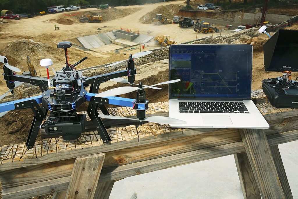
USE OF DRONES IN SURVEYING AND MAPPING APPLICATIONS

USE OF DRONES IN SURVEYING AND MAPPING APPLICATIONS Drones, also known as unmanned aerial vehicles (UAVs), have revolutionized the field of surveying and mapping. These small, lightweight aircraft can capture high-quality images and data from the air, allowing surveyors and mappers to quickly and accurately assess and map areas that would have been difficult or

USE OF DRONES IN SURVEYING AND MAPPING APPLICATIONS Read More »

IMPACT OF CLIMATE CHANGE ON LAND SURVEYING AND INFRASTRUCTURE DEVELOPMENT

IMPACT OF CLIMATE CHANGE ON LAND SURVEYING AND INFRASTRUCTURE DEVELOPMENT Climate change is one of the biggest challenges facing our planet today. The changing climate has a significant impact on our environment, including land surveying and infrastructure development. These changes affect the way we approach land surveying and infrastructure development, making it important to understand

IMPACT OF CLIMATE CHANGE ON LAND SURVEYING AND INFRASTRUCTURE DEVELOPMENT Read More »

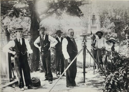
HISTORY OF LAND SURVEYING AND ITS EVOLUTION OVER TIME

HISTORY OF LAND SURVEYING AND ITS EVOLUTION OVER TIME Land surveying is a profession that has been around for centuries, dating back to ancient times. The practice involves measuring and mapping land, determining property boundaries, and creating accurate topographic maps. Throughout history, the tools and techniques used in land surveying have evolved significantly, from ancient

HISTORY OF LAND SURVEYING AND ITS EVOLUTION OVER TIME Read More »

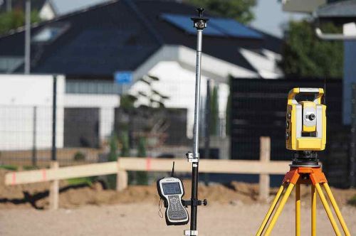
BENEFITS OF USING MODERN TECHNOLOGY IN LAND SURVEYING

BENEFITS OF USING MODERN TECHNOLOGY IN LAND SURVEYING Land surveying is an essential activity that involves the precise measurement and mapping of land boundaries, topography, and other important features. Traditionally, surveyors used simple tools such as theodolites, tapes, and plumb bobs to collect measurements. However, modern technology has revolutionized the field of land surveying, providing

BENEFITS OF USING MODERN TECHNOLOGY IN LAND SURVEYING Read More »

ROLE OF A SURVEYOR IN LAND DEVELOPMENT PROJECTS

ROLE OF A SURVEYOR IN LAND DEVELOPMENT PROJECTS Land development projects involve various aspects of land use, including planning, zoning, design, and construction. Surveyors play a vital role in ensuring the successful execution of such projects by providing accurate and reliable data on land measurements and boundaries. In this article, we will explore the role

ROLE OF A SURVEYOR IN LAND DEVELOPMENT PROJECTS Read More »

THE ROLE OF A SURVEYOR IN REAL ESTATE TRANSACTIONS

THE ROLE OF A SURVEYOR IN REAL ESTATE TRANSACTIONS Real estate transactions involve a variety of parties, including buyers, sellers, real estate agents, lawyers, and surveyors. A surveyor is an important player in the process of buying or selling property. Their role is to provide detailed information about the property’s boundaries, dimensions, and features. This

THE ROLE OF A SURVEYOR IN REAL ESTATE TRANSACTIONS Read More »

error: Content is protected !!
Scroll to Top