USE OF DRONES IN SURVEYING AND MAPPING APPLICATIONS
Drones, also known as unmanned aerial vehicles (UAVs), have revolutionized the field of surveying and mapping. These small, lightweight aircraft can capture high-quality images and data from the air, allowing surveyors and mappers to quickly and accurately assess and map areas that would have been difficult or impossible to reach before.
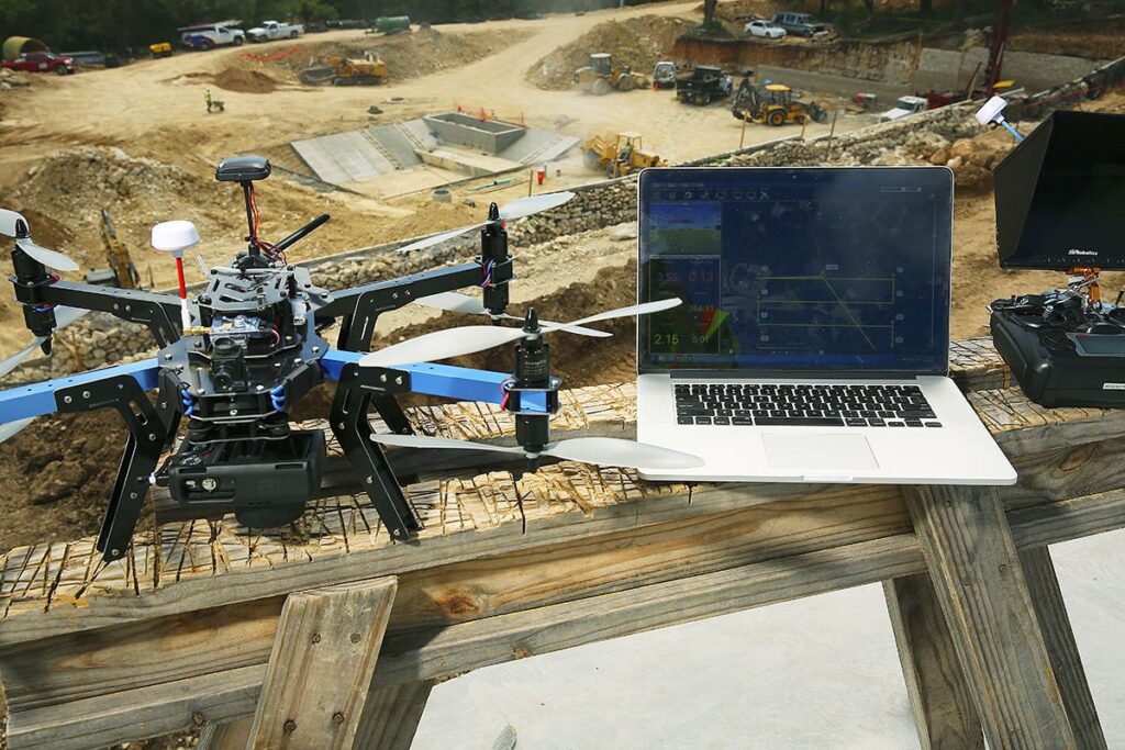
Drones are equipped with cameras, sensors, and GPS systems that allow them to capture high-resolution images and data. They can be programmed to fly a specific path, at a specific altitude, and capture images at set intervals, making it easy to map an area in great detail. Additionally, because they are small and agile, drones can access hard-to-reach areas, such as mountainous terrain, rugged coastlines, and dense forests, that would have been difficult for surveyors to access in the past.
One of the key benefits of using drones in surveying and mapping is the speed with which they can cover large areas. Traditional surveying methods, such as ground-based surveys, can be time-consuming and require a lot of manpower. By contrast, a drone can cover large areas in a matter of hours, allowing surveyors to gather data quickly and efficiently. This speed also means that projects can be completed more quickly, reducing costs and improving efficiency.
Another benefit of using drones is the accuracy of the data they capture. Because they are equipped with GPS systems and other sensors, drones can capture data with a high degree of accuracy. This makes it possible to create highly detailed maps and 3D models of an area, which can be used for a variety of applications, such as land-use planning, infrastructure development, and environmental monitoring.
There are many different types of drones available for surveying and mapping, each with its own set of capabilities and features. Some drones are designed for high-resolution imaging, while others are designed for surveying large areas quickly. Some drones are also equipped with thermal cameras, which can be used to detect heat signatures and identify areas of potential interest.
Despite the many benefits of using drones for surveying and mapping, there are also some challenges associated with their use. For example, drones can be affected by weather conditions, such as high winds or rain, which can make it difficult to capture accurate data. Additionally, drones can be expensive to purchase and maintain, which can be a barrier to entry for some surveying and mapping firms.
In conclusion, the use of drones in surveying and mapping has the potential to revolutionize the industry. By providing quick, accurate, and detailed data, drones can help surveyors and mappers complete projects more efficiently and effectively. As technology continues to advance and drones become more widely available, it is likely that their use in surveying and mapping will only continue to grow.
POINT WISE USE OF DRONES IN SURVEYING AND MAPPING APPLICATIONS
Drones, also known as unmanned aerial vehicles (UAVs), have revolutionized the field of surveying and mapping. With their ability to capture high-resolution imagery and data from the air, drones have become an essential tool for professionals in a variety of industries, including construction, agriculture, mining, and real estate. Here are some of the ways drones are being used in surveying and mapping applications:
- Aerial photography and videography: Drones equipped with high-resolution cameras can capture detailed aerial imagery and videos of a site or area. This imagery can be used to create 3D models, maps, and orthomosaics that provide detailed information about the site.
- Topographic mapping: Drones can be used to create detailed topographic maps of a site. By flying a drone over an area and capturing high-resolution imagery, surveyors can create accurate maps that show the elevation and contours of the terrain.
- Inspection: Drones can be used to inspect structures, such as bridges, buildings, and power lines, for damage or maintenance issues. By flying a drone around a structure and capturing high-resolution imagery, inspectors can identify potential problems without the need for scaffolding or other equipment.
- Agriculture: Drones can be used to map crop health and yield. By capturing multispectral imagery, drones can provide farmers with detailed information about their crops, including growth rates, nutrient deficiencies, and pest infestations.
- Mining: Drones can be used to map mining sites and provide detailed information about the terrain, including the location of mineral deposits. This information can help mining companies plan more efficient and cost-effective operations.
Overall, the use of drones in surveying and mapping applications is rapidly growing, and their ability to capture high-resolution imagery and data is transforming how professionals approach their work.