AERIAL SURVEYING: DRONES AND LIDAR FOR HIGH-RESOLUTION MAPPING
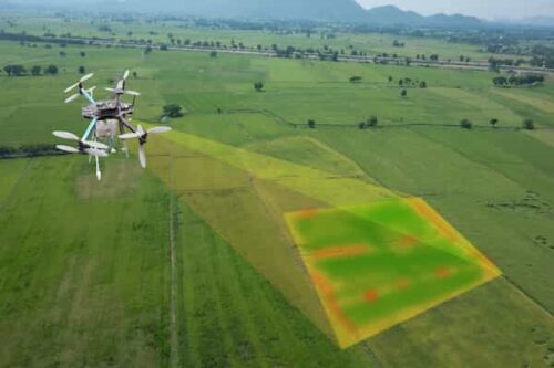
AERIAL SURVEYING: DRONES AND LiDAR FOR HIGH-RESOLUTION MAPPING Aerial surveying has undergone a transformative revolution in recent years, thanks to the integration of drones (Unmanned Aerial Vehicles or UAVs) and LiDAR (Light Detection and Ranging) technology. This dynamic combination has revolutionized the way we capture and analyze geographic data, enabling high-resolution mapping and a wide
AERIAL SURVEYING: DRONES AND LIDAR FOR HIGH-RESOLUTION MAPPING Read More »