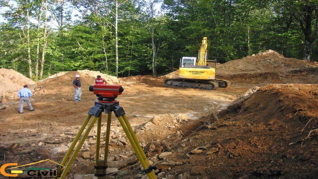
PLANE SURVEYING VS GEODETIC SURVEYING | DIffERENCE BETWEEN PLANE SURVEYING & GEODETIC SURVEYING
Plane Surveying Vs Geodetic Surveying: Understanding the Differences
Surveying is an essential practice in various fields, including civil engineering, land development, and cartography. Plane surveying and geodetic surveying are two fundamental approaches used to measure and map the Earth’s surface, each serving distinct purposes. This article delves into the key differences between these two surveying methods.
Plane Surveying: A Local Perspective
Definition and Scope: Plane surveying, also known as plane geometry surveying or terrestrial surveying, focuses on small areas and assumes that the Earth’s surface is flat within the survey area. This method is suitable for projects with limited extents, where the curvature of the Earth is negligible.
Key Points:
- Assumption of Flatness: Plane surveying treats the survey area as a flat plane, ignoring the Earth’s curvature.
- Local Accuracy: It provides accurate results over small distances but becomes less accurate for larger areas due to curvature effects.
- Angles and Distances: Plane surveying employs principles of plane geometry, considering angles as simple plane angles and distances as horizontal distances.
- Common Applications: Land subdivision, construction site layout, and topographic mapping in relatively small regions.
Geodetic Surveying: Embracing Earth’s Curvature
Definition and Scope: Geodetic surveying, also referred to as geodesy, takes into account the Earth’s curvature and aims to create accurate measurements over large areas, often spanning great distances. It is used when surveying on a local plane is insufficient due to the Earth’s spherical shape.
Key Points:
- Spherical Earth Model: Geodetic surveying acknowledges the Earth’s curvature and uses a geodetic datum to define reference points.
- Global Accuracy: This method ensures high accuracy even over vast distances, making it essential for large-scale mapping and navigation.
- Ellipsoidal Coordinates: Geodetic coordinates, such as latitude and longitude, are measured on the Earth’s ellipsoidal surface.

- Applications: Mapping of continents, countries, and global positioning systems (GPS) rely on geodetic surveying.
Key Differences Between Plane and Geodetic Surveying:
- Earth’s Curvature:
- Plane Surveying: Ignores Earth’s curvature and treats the survey area as flat.
- Geodetic Surveying: Accounts for Earth’s curvature and uses ellipsoidal models or geoids.
- Accuracy and Distance:
- Plane Surveying: Highly accurate for small areas, but accuracy decreases over larger distances.
- Geodetic Surveying: Maintains accuracy over vast distances due to curvature compensation.
- Reference Points:
- Plane Surveying: Often uses local reference points, not considering global coordinates.
- Geodetic Surveying: Employs geodetic datums and global coordinate systems for precise positioning.
- Survey Methods:
- Plane Surveying: Plane geometry principles are applicable, measuring angles and distances as if on a flat plane.
- Geodetic Surveying: Employs trigonometry and specialized techniques to account for the Earth’s shape.
- Applications:
- Plane Surveying: Suited for small-scale projects like property surveys and construction layouts.
- Geodetic Surveying: Essential for large-scale mapping, global navigation, and satellite positioning systems.
Choosing the Right Approach:
Selecting between plane and geodetic surveying depends on the scope, accuracy requirements, and project size. While plane surveying is sufficient for local applications, geodetic surveying becomes indispensable when dealing with extensive areas or global positioning.
In conclusion, understanding the distinctions between plane surveying and geodetic surveying is crucial for accurate mapping, navigation, and construction. By acknowledging the Earth’s curvature and selecting the appropriate surveying method, professionals can ensure the success of diverse projects across various scales.


