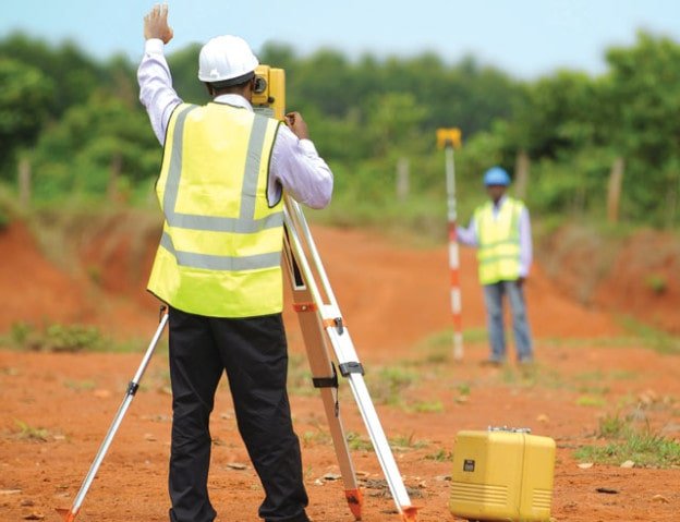
WHAT IS SURVEYING? : 5 PRINCIPLES OF SURVEYING, OBJECTIVES & USES OF SURVEYING
Surveying is the process of measuring, mapping, and analyzing features of the physical and natural world using specialized equipment and techniques. Surveying is an essential field of study that is used in a wide range of industries, including construction, engineering, architecture, urban planning, mining, and agriculture.
The 5 principles of surveying are:
- Control: Surveying relies on a system of control points, which are established by measuring the coordinates of known points on the ground or other surfaces. These control points are used as reference points for all subsequent measurements and calculations.
- Accuracy: Surveying requires a high level of accuracy, with measurements typically made to within a few millimeters or less. This requires the use of specialized equipment, such as total stations, GPS receivers, and laser scanners.
- Precision: Precision is a measure of the consistency and repeatability of measurements. Surveying equipment and techniques are designed to ensure that measurements are precise and consistent, even when taken over long distances or under challenging conditions.
- Repeatability: Repeatability is the ability to obtain the same measurement results under the same conditions. Surveying equipment and techniques are designed to be repeatable, ensuring that measurements taken at different times or by different surveyors are consistent.
- Reliability: Surveying is a reliable method of measuring and mapping the physical and natural world. The use of control points, accurate and precise equipment, and repeatable techniques ensures that surveying results are reliable and can be used with confidence in a wide range of applications.
The objectives of surveying include:
- Mapping and measuring the Earth’s surface: Surveying is used to create accurate maps of the Earth’s surface, including the location and elevation of natural and man-made features.
- Land surveying: Surveying is used to measure and map land boundaries, identify property lines, and create legal descriptions of land.
- Construction surveying: Surveying is used to layout construction sites, create building designs, and monitor construction progress.
- Environmental surveying: Surveying is used to measure and monitor environmental factors, such as air quality, water quality, and soil conditions.
The uses of surveying include:
- Land development: Surveying is used in land development projects, such as subdivisions, commercial developments, and industrial sites.
- Infrastructure development: Surveying is used in infrastructure development projects, such as roads, bridges, tunnels, and airports.
- Mining: Surveying is used in mining operations to measure and map the location and extent of mineral deposits.
- Agriculture: Surveying is used in agriculture to measure and map fields, monitor crop growth, and identify irrigation needs.
- Disaster management: Surveying is used in disaster management to assess the extent of damage caused by natural disasters, such as earthquakes, floods, and hurricanes.


