GEODETIC SURVEYING: MEASURING EARTH’S SHAPE AND SIZE WITH PRECISION
Geodetic surveying is a critical field of study that involves the precise measurement of the Earth’s shape and size. It plays a fundamental role in various applications, from mapping and navigation to land management and infrastructure development. In this article, we will delve into the world of geodetic surveying, exploring its importance, methods, and key points.
1. Understanding Geodesy: The Science of Earth Measurement
Geodesy is the scientific discipline that deals with the measurement and representation of the Earth’s surface and its gravitational field. It seeks to understand the Earth’s shape, size, and how it changes over time. Geodetic surveying is an integral part of geodesy, providing the data needed to create accurate models of our planet.
2. Earth’s Shape: More Than Meets the Eye
Contrary to popular belief, the Earth is not a perfect sphere; it’s an oblate spheroid, meaning it’s slightly flattened at the poles and bulging at the equator. Geodetic surveyors use precise instruments and mathematical models to measure this shape and represent it in a form that can be used for various applications.
3. Determining Earth’s Size: Measuring the Circumference
One of the earliest geodetic measurements was the determination of the Earth’s circumference by the Greek philosopher and mathematician, Eratosthenes, over 2,000 years ago. Modern geodetic surveyors employ advanced techniques like satellite-based Global Positioning System (GPS) to measure the Earth’s size with astonishing accuracy.
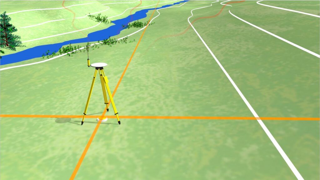
4. The Role of Satellites: GPS and GNSS
The Global Positioning System (GPS) and Global Navigation Satellite Systems (GNSS) like GLONASS and Galileo have revolutionized geodetic surveying. By triangulating signals from multiple satellites, surveyors can pinpoint their exact location on Earth’s surface with remarkable precision, often within a few centimeters.
5. Height Above Sea Level: Geoid and Ellipsoid Models
In addition to measuring the Earth’s size, geodetic surveyors need to determine elevation accurately. They use two models: the geoid, which represents the Earth’s gravitational field as a surface of equal gravitational potential, and the reference ellipsoid, which approximates the Earth’s shape. Understanding the geoid-ellipsoid relationship is crucial for precise elevation measurements.
6. Monitoring Earth’s Movement: Plate Tectonics and Sea Level Rise
Geodetic surveying is essential for tracking the dynamic changes occurring on Earth’s surface. It helps monitor plate tectonics, which influence earthquake predictions and volcanic activity assessments. Additionally, geodetic data aids in studying sea level rise, a critical issue in our changing climate.
7. Mapping the World: Topographic and Bathymetric Surveys
Geodetic surveyors create detailed maps of the Earth’s surface, both on land (topographic surveys) and under the sea (bathymetric surveys). These maps are crucial for urban planning, infrastructure development, environmental conservation, and disaster management.
8. Land Surveying and Property Boundaries
Geodetic surveying plays a vital role in land management, ensuring accurate property boundaries and land titles. Surveyors use sophisticated equipment to precisely determine property lines, resolving land disputes and facilitating fair land use.
9. Space Exploration: Extending Geodetic Knowledge Beyond Earth
Geodetic principles aren’t limited to Earth; they have applications in space exploration. When sending missions to other celestial bodies, scientists use geodetic techniques to map their surfaces, measure gravitational fields, and navigate spacecraft.
10. The Future of Geodetic Surveying: Advancements and Challenges
As technology continues to advance, geodetic surveying becomes more accurate and accessible. However, challenges such as data integration, standardization, and addressing the impacts of climate change on the Earth’s surface remain at the forefront of the field’s evolution.
In conclusion, geodetic surveying is a crucial science that enables us to understand and interact with our planet more accurately. It has applications ranging from everyday GPS navigation to the exploration of distant celestial bodies. With ongoing advancements and a commitment to addressing global challenges, geodetic surveying will remain at the forefront of scientific and technological progress.