
USE OF DRONES IN SURVEYING AND MAPPING APPLICATIONS
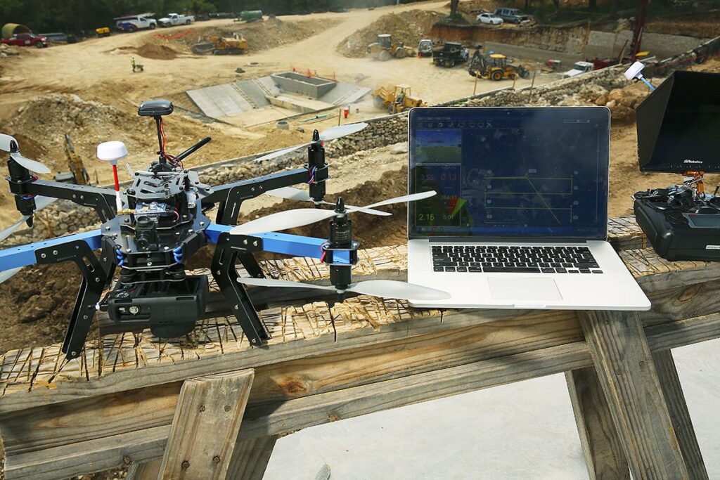
USE OF DRONES IN SURVEYING AND MAPPING APPLICATIONS Drones, also known as unmanned aerial vehicles (UAVs), have revolutionized the field of surveying and mapping. These small, lightweight aircraft can capture high-quality images and data from the air, allowing surveyors and mappers to quickly and accurately assess and map areas that would have been difficult or […]
USE OF DRONES IN SURVEYING AND MAPPING APPLICATIONS Read More »